Energy
Grid & utilities
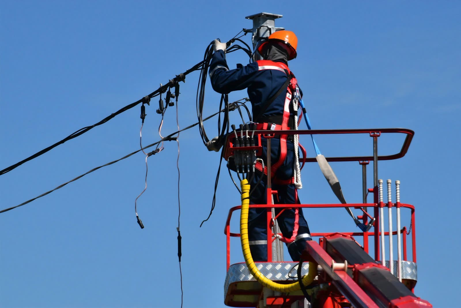
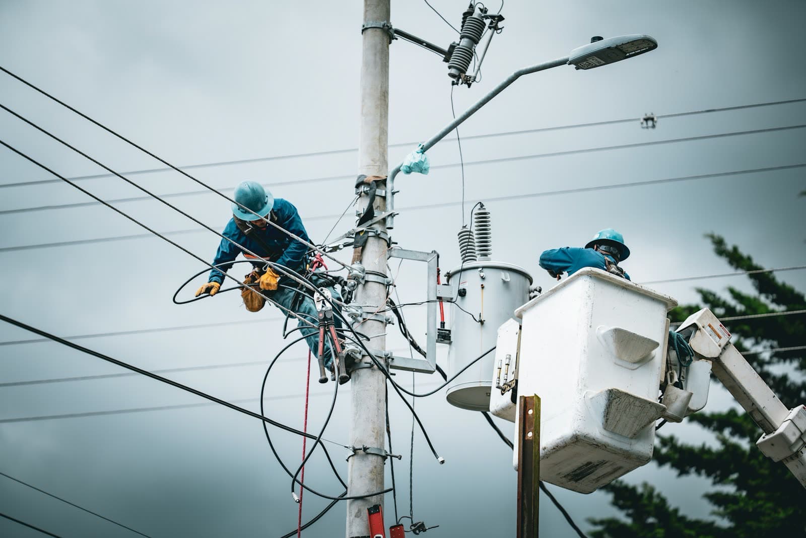
Poles, spans and substations sealed to a stable code, so an inspection logged in the field lands on the same asset the control room is looking at.

A surveyor in a hard hat and hi-vis vest holding a GNSS survey pole and a phone on a construction site, with a city skyline behind
Trusted by teams in insurance, logistics, energy & the public sector — on the ground and on stage









Logos link to our press & events page
ON THE GROUND
Every AreaSeal begins as a real place, walked by a real person. TGB is built for the crews who capture it — and for the teams who have to trust what comes back.
Poles, spans and substations sealed to a stable code, so an inspection logged in the field lands on the same asset the control room is looking at.
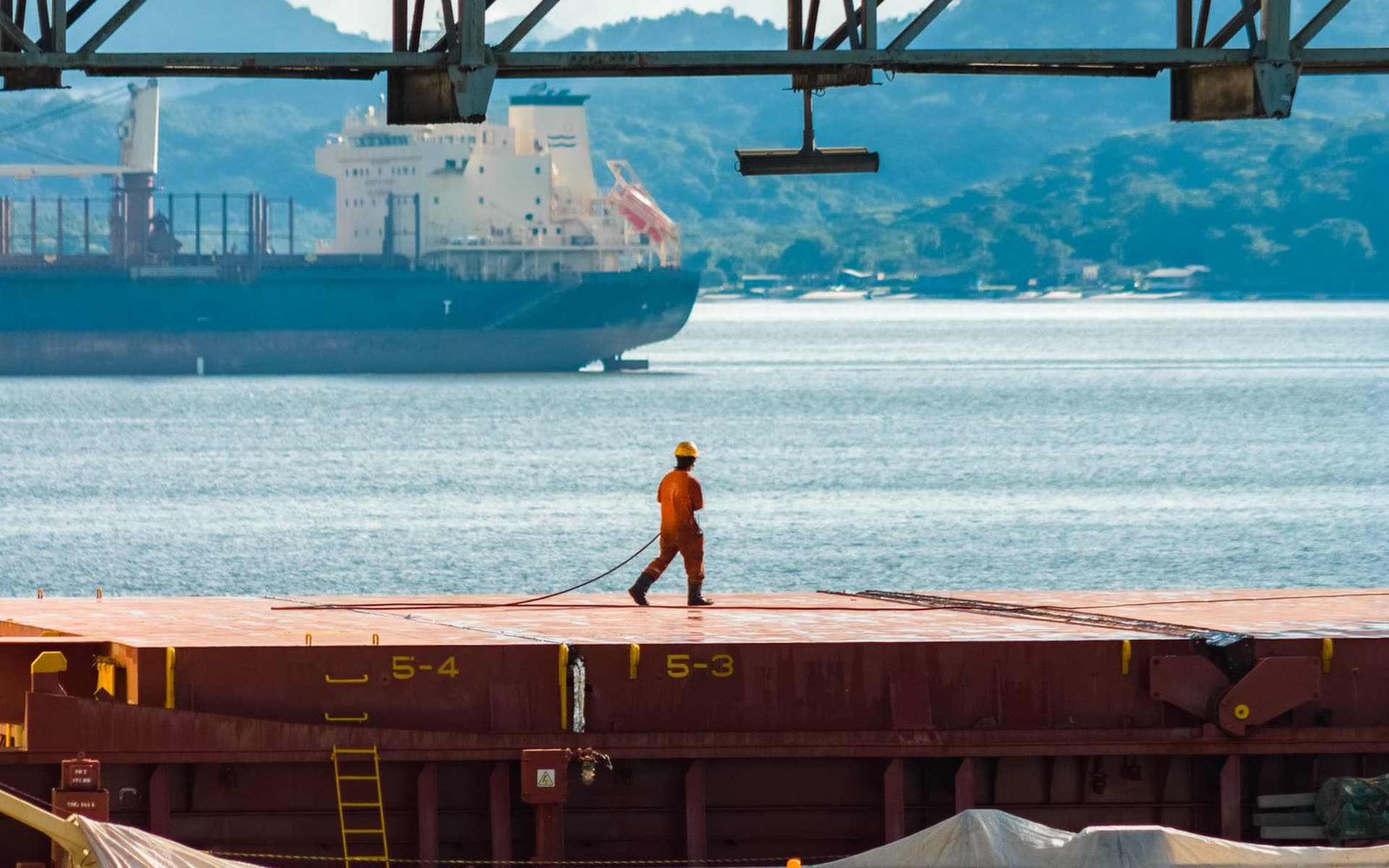
Yards, berths and routes addressed on one grid — no reconciling three systems that each describe the same quay differently.
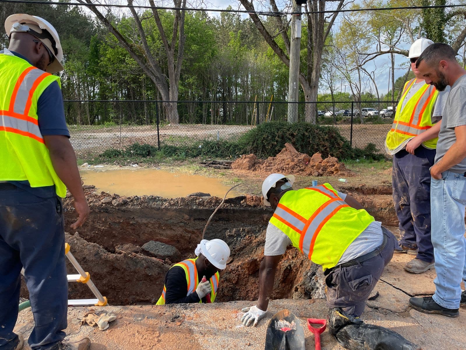
Water, drainage and street works recorded where they actually happened, in a form the next crew and the next audit can both read.
Our products
Every TGB product speaks the same Open AreaSeal language — pick the surface that fits your team, and the data stays in sync everywhere else.
A living digital twin of your real-world data, held as a structured, queryable database — people, assets and schedules in one place.
One REST surface for tracking, imagery and OAS conversion. Auth with a single key and ship your first AreaSeal today.
View docs →GeoJSON in, AreaSeals out. WKT, shapefile batches and raw coordinates all resolve to the same stable grid codes.
Format guide →Test-mode keys, a live API console and sample datasets — experiment freely before a single conversion is billed.
Open console →Seal your first geography with one call to TGB Cloud.
curl -X POST https://api.tgb.world/v1/convert \
  -H "Authorization: Bearer $TGB_KEY" \
  -H "Content-Type: application/json" \
  -d {
    "geometry": "POLYGON((11.56 48.13, 11.59 48.13, ...))",
    "output":   "open_areaseal",
    "grid_level": 12
  }

# → { "areaseal": "OAS-8843-DE", "status": "sealed" }
An Open AreaSeal (OAS) is a stable, machine-readable code for any geography on Earth. Any polygon, parcel or zone you feed into TGB Cloud is automatically converted into AreaSeals on a grid of 100+ quintillion cells — no manual digitizing.
There is nothing to install or provision. Legacy GIS means servers, licenses and months of setup; TGB World is a fully managed platform — you call an API or use the console, and pay only per conversion.
No. Smart Snapper captures field data from any phone, TGB Store brings AreaSeals into Power BI, and the TGB Console lets you draw and manage geographies in the browser. The APIs are there when your developers want them.
Pay per OAS conversion — no seats, no server fees, no minimum commitment. Test-mode keys and the sandbox console are free, so you can experiment before a single conversion is billed.
TGB World is operated by THE GREEN BRIDGE Ingenieurgesellschaft mbH in Germany. Data is processed under EU jurisdiction with GDPR-compliant handling and encryption in transit and at rest.
Both. The same platform seals a single parcel or a national utility grid — the OAS grid addresses every square on the planet, and pipelines scale automatically with no capacity planning.
Get a personalized walkthrough of the platform — or start building on your own, free.
We use cookies to ensure you get the best experience on our website. For more information on how we use cookies, please see our cookie policy.
By clicking "Accept", you agree to our use of cookies.
Learn more.