
Background Image

Capture Geospatial Data On-the-Go With tgbSnapper

Mobile-first field data collection with automatic AreaSeal generation

Background Image

Logo

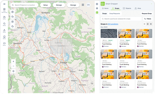
TGB Snapper is a mobile-first geospatial data capture platform that enables field teams to create geo-referenced snapshots with automatic AreaSeal conversion

  • Photo and video capture with GPS coordinates.
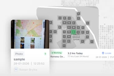
  • Real-time location tracking and snap management.
  • Automatic AreaSeal generation for captured locations.
  • Object assembly management and organization.
Start capturing geospatial data in the field
tgbsnapper-poster

Explore TGB Snapper Features for your Field Operations

Modules

Modules

Explore powerful modules designed for comprehensive field operations, data collection, and spatial analysis
Storage

Storage

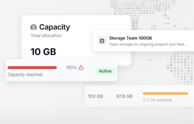
Secure and scalable storage solutions for files, media, and spatial data with easy API integration

User Plans

User Plans

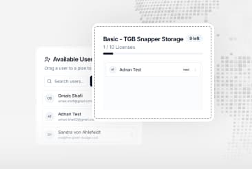
Manage subscription plans, user access levels, and flexible pricing options for your applications

We use cookies

We use cookies to ensure you get the best experience on our website. For more information on how we use cookies, please see our cookie policy.

By clicking "Accept", you agree to our use of cookies.
Learn more.